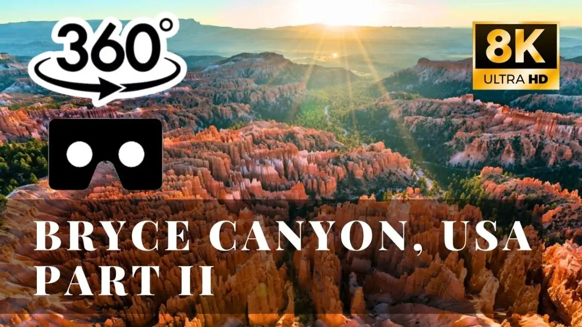
Bryce Canyon, USA. Part II VR 360
 285
285
 0
0
Earlier we have published photo panoramas of the winter Bryce Canyon. Now we present a 360° video of the National Park taken in the autumn.
Bryce Canyon National Park is a national park located in southwestern Utah in the United States. The park covers 145 sq km. Despite its name, the Bryce Canyon is not exactly a canyon but a giant natural amphitheater created by erosion along the eastern side of the Paunsaugunt Plateau. Bryce is distinctive due to geological structures formed by wind, water, and ice erosion of the river and lakebed sedimentary rocks.
Bryce Canyon sits at a much higher elevation than nearby Grand Canyon and Zion National Park. The rim at Bryce varies from 2 400 to 2 700 m, while southern rim of Grand Canyon is 2 100m above the sea level. This is why the climate and the ecological profile of the park are so different from its neighbors.
The Bryce area was settled by Mormon pioneers in the 1850s and was named after Ebenezer Bryce, who homesteaded in the area in 1874. The area around Bryce Canyon became a U.S. National Monument in 1923 and was designated as a national park in 1928. Comparing to Zion National Park and the Grand Canyon, this remote park receives relatively few visitors that come here for the opportunity to take unforgettable landscape pictures.

 29
29
 0
0

 99
99
 0
0

 130
130
 0
0
 Add comment


